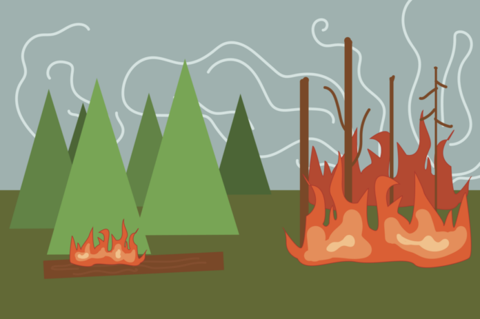
South-blowing winds carry smoke to the valley, prompting health warnings and visibility concerns as fire crews work to contain the blaze in rugged terrain
By ALMA CULVERWELL — city@theaggie.org
The city of Davis has recently faced smoky air conditions and reduced air quality as a result of the Shoe Fire in Shasta County.
The Shoe Fire, northwest of Shasta Lake in Shasta Trinity National Forest, was started by human activity, according to the Cal Fire website. The fire that was started at 1:18 p.m. on Oct. 9 and has burned an estimated 5,124 acres is approximately 60% contained as of Oct. 27, according to Cal Fire.
“Additional personnel continue to arrive to provide support, incoming hotshot crews are set to perform planned tactical firing operations alongside aerial ignition teams,” the Cal Fire status update reads.
Cal Fire further explained the team’s plan to prevent the Shoe Fire’s expansion.
“The fire is expanding in the Sulanharas and Beartrap creeks,” the status update reads. “Given that the fire has reached areas that are inaccessible to ground crews, aircraft will prioritize operations in the creeks to mitigate further fire growth.”
The rapid growth of the fire into steep terrain territory has posed a significant barrier for the first responders working on containing the fire. Firefighters are working to contain the fire in the air and on the ground; Structure defense is also in place in key areas.
“Crews will work to reinforce and strengthen control lines on the western side of the fire, which has experienced a significant reduction in heat,” the Cal Fire’s update reads. “Structure assessment teams will remain deployed for the remainder of the day to evaluate risks to residences in areas of concern.”
Officials have issued a mandatory evacuation for zone LKH-1448-B in the area of Lakehead for civilians at risk. The fire has also prompted the Shasta-Trinity National Forest to issue an Emergency Forest Closure Order for roads, trails and campgrounds that is effective through Jan. 31, 2025.
The fire has also resulted in several road closures, including the Fenders Ferry Road at Pit River 7 Bridge: West-Bound Fenders Ferry Road also known as 34N17, Forest Service Road 27 at the Pit River Bridge/Pit 7 and Ferry Road closed at McCloud Bridge: East-Bound Fenders Ferry Road at the McCloud River Bridge.
South-blowing winds have been carrying the smoke from the fire to the valley. Several areas have been impacted, including Chico, Yuba City, Woodland and Davis. Air quality is expected to improve as winds shift and less smoke is pushed to the local area.
County health officials advised people with respiratory conditions or heart disease, as well as the elderly, pregnant women and children, to avoid strenuous outdoor activity in smoky conditions.
Written By: Alma Culverwell — city@theaggie.org


