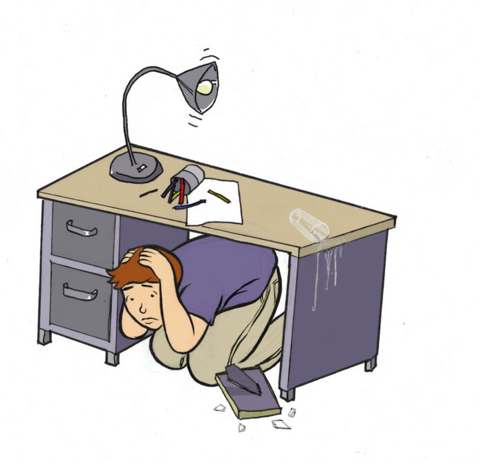
On May 23 at 8:47 p.m., a magnitude 5.7 earthquake struck to the south of Lake Almanor in Lassen Volcanic National Park. Tremors were felt 113 miles away by people in the City of Davis.
Some minor damages were reported in the area, including collapsed chimneys, fallen objects inside houses and two destroyed water tanks, which caused approximately 300 people to be affected by the damaged water supply. About 660 people on the southwestern edge of Lake Almanor also briefly lost power.
Mt. Lassen, part of Lassen Volcanic National Park, has not erupted since the early 1900s, but distinguished professor of physics and geology at UC Davis John Rundle said that the earthquake could be evidence of volcanic movement.
“[Thursday’s earthquake] may be associated with volcanic unrest,” Rundle said. “That doesn’t mean that the volcano will erupt, it just means that the ground could expand at maximum one meter.”
While earthquakes in this part of Northern California are not uncommon, it has been quite a while since one of this magnitude has been felt.
“[The] quake was the strongest in this part of California for nearly 63 years,” according to Earthquake-report.com.
Because of the relative flatness of the City of Davis, the city isn’t at as high a risk for earthquakes as other more mountainous areas.
“Where you have mountains, you have earthquakes,” said Donald Turcotte, UC Davis professor of geology.
However, because the City of Davis is surrounded by various fault lines, it is possible that from time to time tremors could be felt, as they were on May 23, but most of the time any damage that is incurred would be minimal.
Many residents of the City of Davis did not experience anything abnormal that evening. Jacqueline Santana, a first-year managerial economics major, said that she noticed the earthquake, while a friend sitting next to her didn’t.
“I felt my seat move slightly and at first thought it was nothing, but seconds later I felt it move again … I looked at my friend and asked her if she realized an earthquake had happened,” Santana said. “She said it was nothing, but I quickly pointed out to her that the lamps and plants had started moving unexpectedly.”
According to Turcotte, the risk for earthquakes in Davis to cause structural damage is quite low. However, major ground-shaking in areas surrounding the City of Davis can be expected on occasion.
“Every 30 years we could have an earthquake in the magnitude 7.0 range that we would feel well,” Turcotte said. “Every once in a while we will feel a magnitude 8.0 earthquake, which we had in [the San Francisco earthquake of] 1906.”
In the case of such an earthquake, the City of Davis has various disaster prevention plans in place to help affected areas.
“A catastrophic earthquake in the Bay Area creates a need for medical care and other emergency services, so we think about how we could respond to the people coming into Davis,” said Kelly Stachowicz,
the deputy city manager of the City of Davis.
The most recent major earthquake that shook the City of Davis was the San Francisco earthquake of 1989, which had a magnitude of 7.2 and was caused by a slip along the San Andreas Fault.
Two significant earthquakes that took place closer to the City of Davis occurred at the Lake Berryessa fault line near the City of Winters in 1872. The City of Winters is approximately 14 miles from the City of Davis, so any activity that occurs there is often felt by Davis residents. On April 20, 1872, there was a 6.5 earthquake, which was immediately followed by a 6.4 earthquake the next day.
A potential concern for Davis and Sacramento is levee failure, which could be caused by an earthquake on the Hayward Fault. The fault runs along the east side of the San Francisco Bay. An earthquake could cause extensive flooding.
“In the Sacramento Delta region, an earthquake would cause the levees to fail,” Rundle said.
This is one of the many concerns that are addressed in the disaster plan of the City of Davis.
“[In our disaster plan] we look at making sure we have an inventory of all the possibilities [of disasters] and what resources we have in order to address the emergency,” Stachowicz said. “It’s about knowing what is needed for a particular emergency.”
The geography of the City of Davis leads to increased earthquake sensitivity for residents. The soft soil that has made Davis such a well-known agricultural area in the past increases its vulnerability.
“Because of the soft ground that we have in Davis, shaking tends to be amplified and can be intense,” Rundle said.
Those who felt the earthquake on May 23 experienced an amount of trembling that is barely identifiable as an earthquake without the use of advanced technology.
“[They felt] the smallest amount of movement that you can identify as an earthquake,” Turcotte said.
TAYLOR CUNNINGHAM can be reached at city@theaggie.org.


[…] news.google.com/news/url?sa=t&fd=R&usg=AFQjCNFhe6y1RuUS4A2Hk34jLZDDFbR3Sw&url=http://www… […]