Researchers are developing a toolkit that can efficiently help farmers rehabilitate land lost in wildfires
By ARYAMAN BHATIA — science@theaggie.org
Researchers at UC Davis are developing an artificial intelligence-based toolkit that can assess damages caused by wildfires to vegetated areas and accelerate the recuperation process for landowners.
With the rising temperatures caused due to global warming, wildfire risks have increased substantially. The aftermath of a wildfire is often unpredictable, making it difficult for landowners to know the exact severity of the damages that can occur.
In an effort to combat this, UC Davis researchers are using artificial intelligence to analyze wildfire repercussions and develop an online toolkit that can be accessed by anyone. With the help of the toolkit, landowners can project how vegetation in the area is growing and its susceptibility to wildfire damages, helping the user effectively intervene in the case of wildfire.
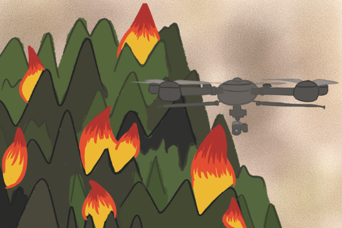
The project involves two main steps: data collection and classification. For data collection, the team collects large numbers of forested area images before and after the area has been affected by wildfire. To do this, the project uses a dataset from the NRS’s California Heartbeat Initiative. The team also conducts drone flyovers over wildfire-affected areas to gain a better understanding of how wildfire has affected various vegetation types and areas over time.
Derek Young, an assistant professional researcher for the Forest Change Analysis Lab at UC Davis and co-lead for the project, explained the benefits of using drones to survey land after wildfires.
“The benefit of using drones is that many objects on the ground, say a rock or a shrub or a tree, show up in many different images,” Young said. “So by using a program called ‘Motion for Capture,’ you can triangulate the structure and height.”
This helps the team get accurately measured data, which allows them to classify vegetation down to the pixel. The images are then hand-labeled individually according to their vegetation type in the form of a large data structure.
Once the data has been collected, it is split into a training set, which refers to the images that will be used to train the machine-learning algorithm, and testing sets, to see how correctly the algorithm classifies the images.
The machine-learning algorithm divides each image input by the user into sections and characterizes images based on the training set. By identifying pixel groups within the image as certain vegetation types, such as shrubs or trees, the model can identify differences between images of different timelines.
“We might, in our pre-wildfire image, see a lot of green in, say, a slope of chaparral, and in the immediate post-wildfire image, that might become red, like bare ground,” Young said. “And then in another few years, it might be back to green, as the chaparral resprouted and started to recover.”
In this way, one can track how ecosystems recover from the aftermath of a wildfire, which is important for learning how to best manage resources.
“The areas in need of post-fire reforestation far exceed the resources managers have for planting,” the Forest Change Analysis Lab’s website reads. “It is critical to understand where tree planting is most likely to be effective at achieving restoration goals so that limited resources can be put to use most effectively.”
The end goal is to develop a toolkit that allows anyone with access to a drone to input overhead shots of their own land and understand which areas are at high risk for wildfire damage. This would allow owners to know where exactly they must devote resources to their land.
Young said that this project showcases the benefits of adopting a multidisciplinary approach by combining ecology and artificial intelligence.
“There’s been some huge advances in the machine learning and computer vision community,” Young said. “Some of those are accessible to specialists in other disciplines, like ecologists, but others require collaboration with computer scientists. So I think there is a huge potential for the ecological insights we can gain from our data, using both the current tools and the tools that are just becoming available.”
Written by: Aryaman Bhatia — science@theaggie.org


